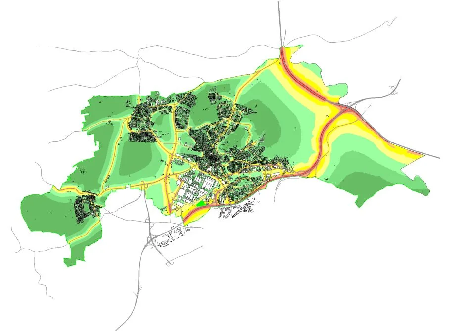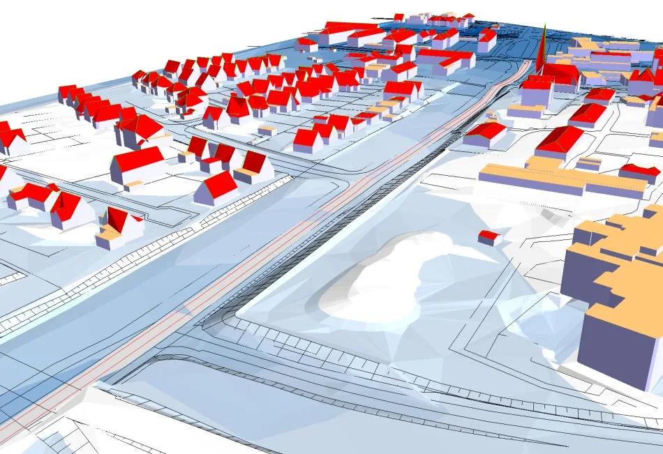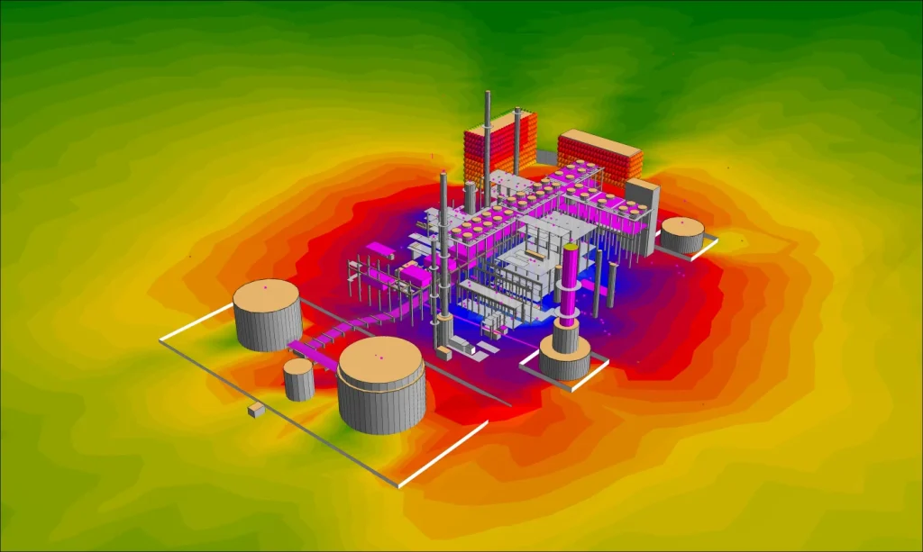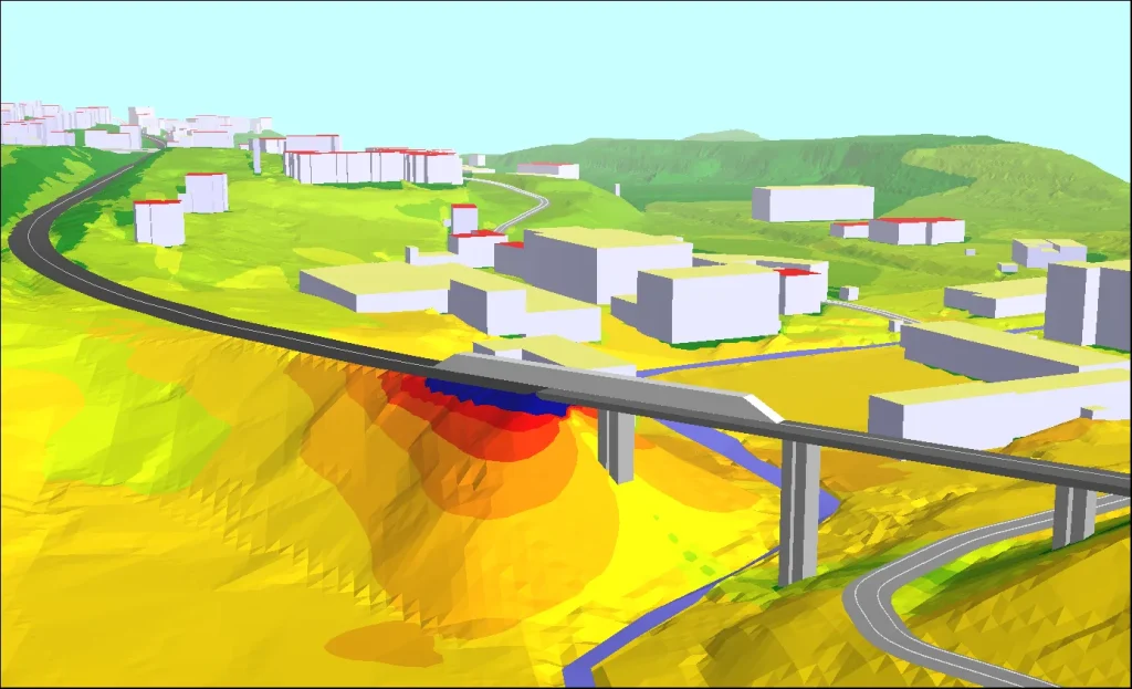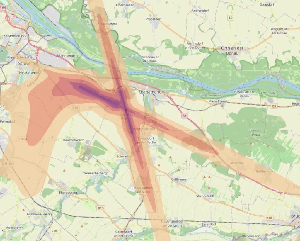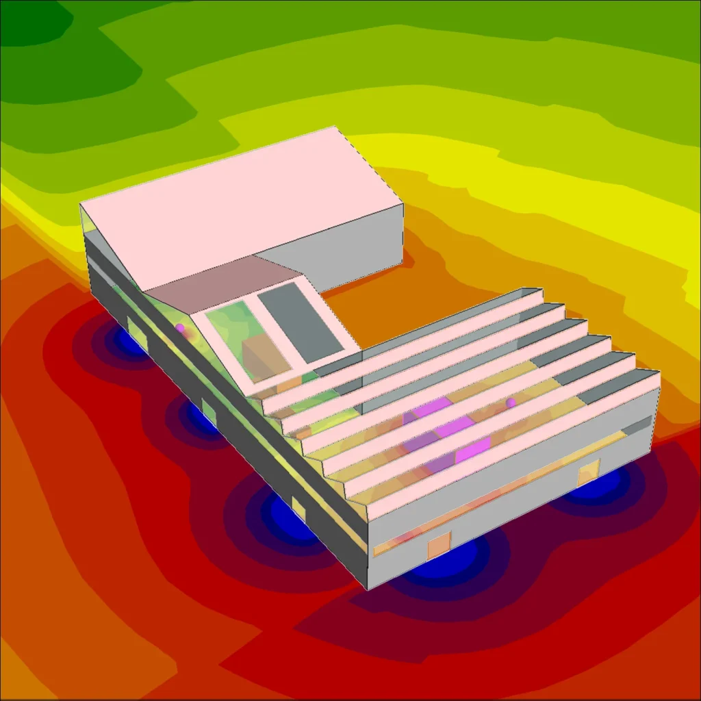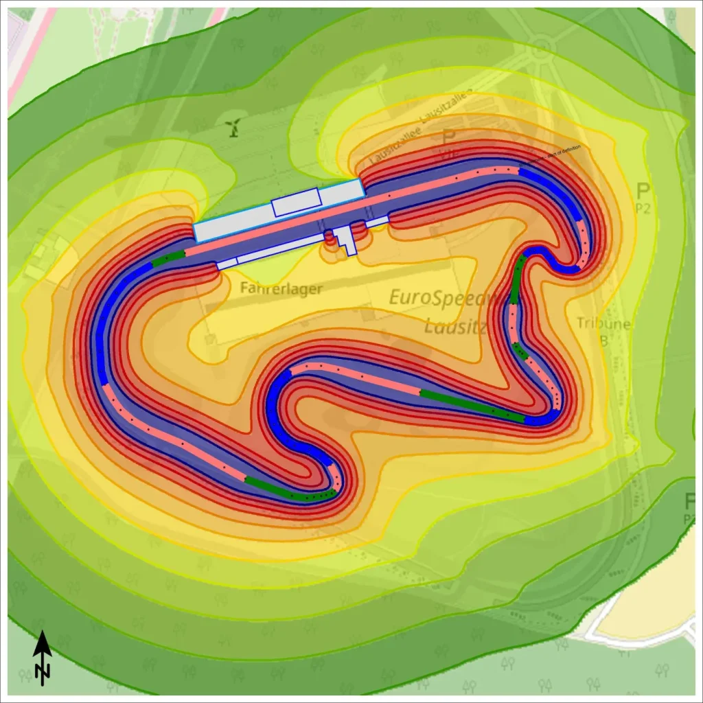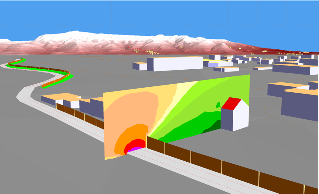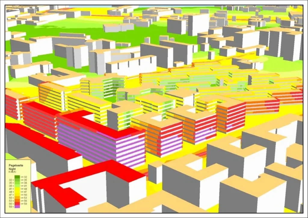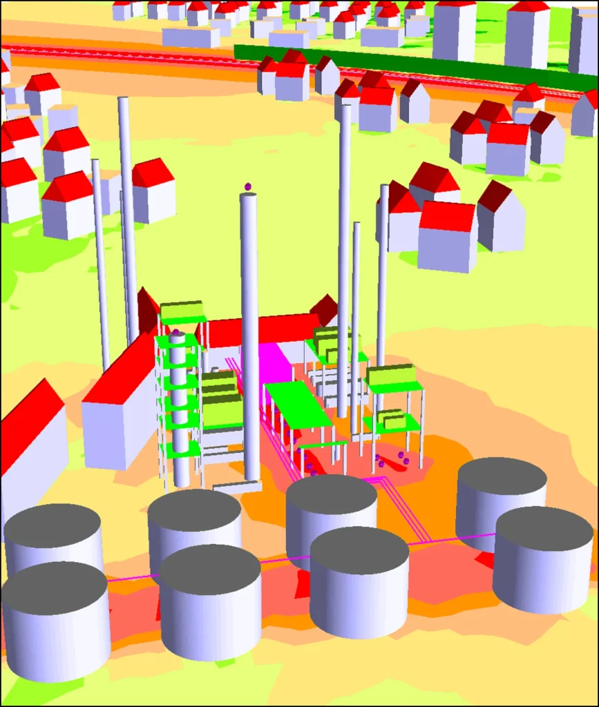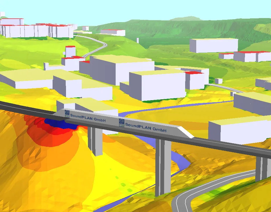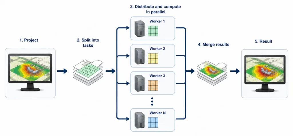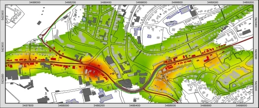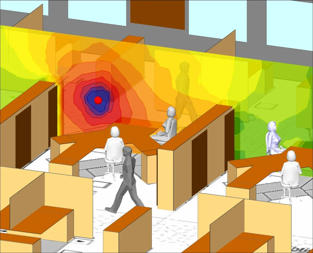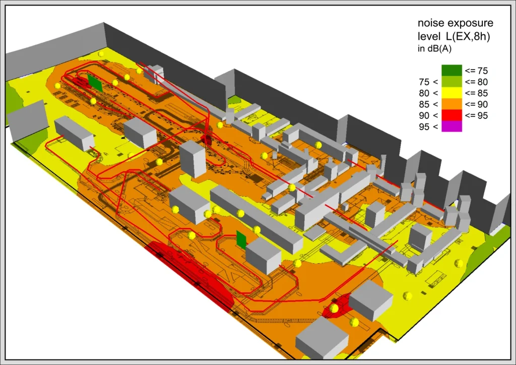
Grid Noise Map calculates receiver grids at a user-defined height above ground. The grid size can be selected freely, so the module can support both broad overview maps and more detailed local analyses.
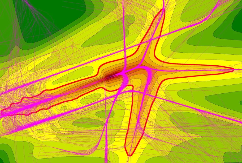
Results can be presented as isophone maps with contour labels or as grid maps with color gradients. The module also supports difference maps, sum maps, maximum-value maps, configurable color scales and area statistics for the different color-scale intervals.