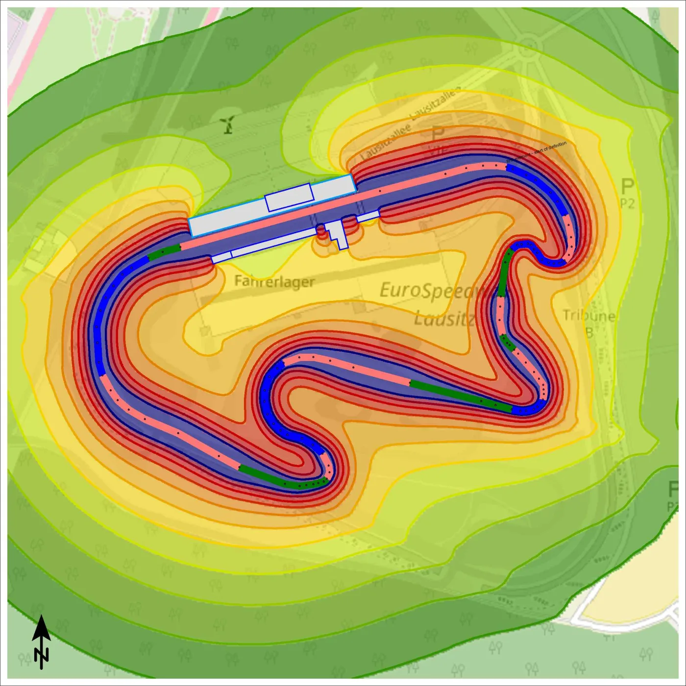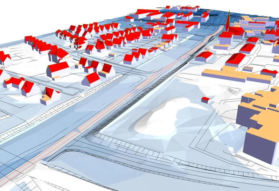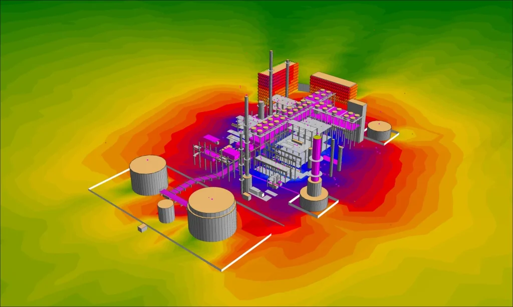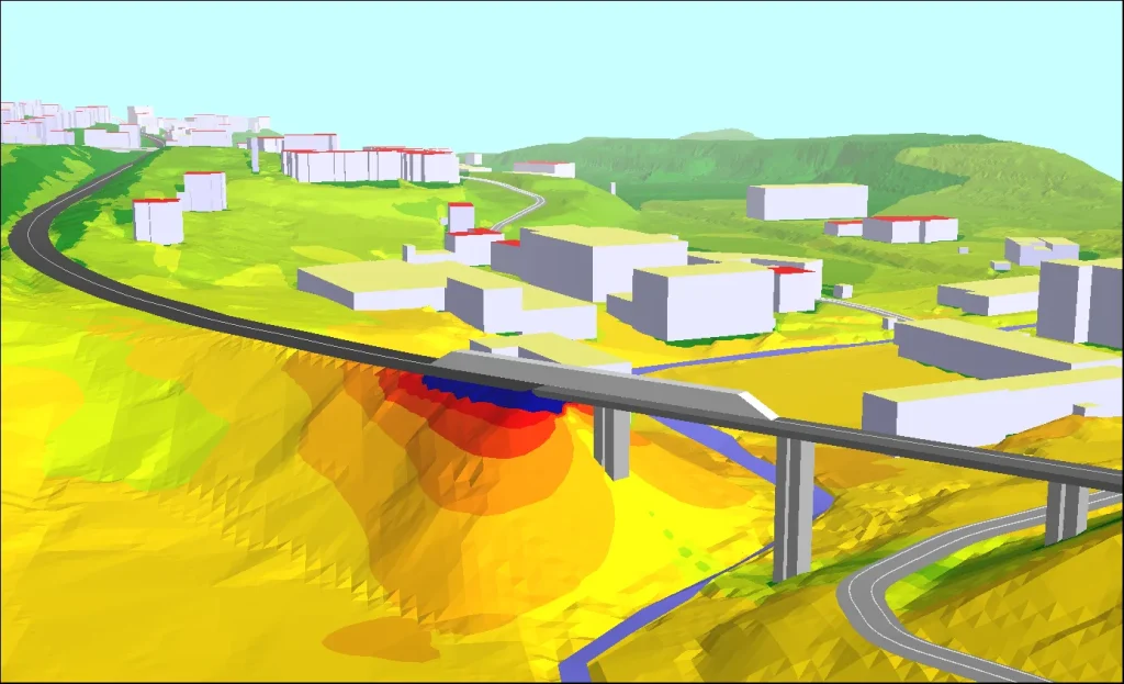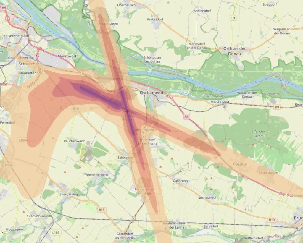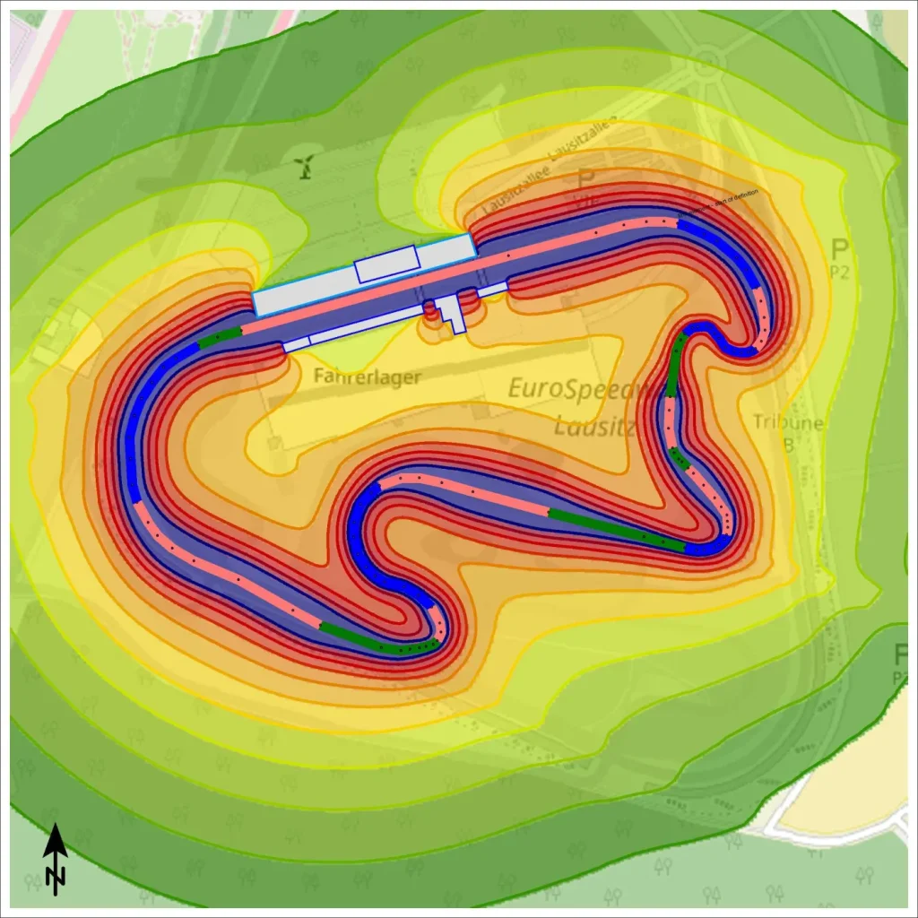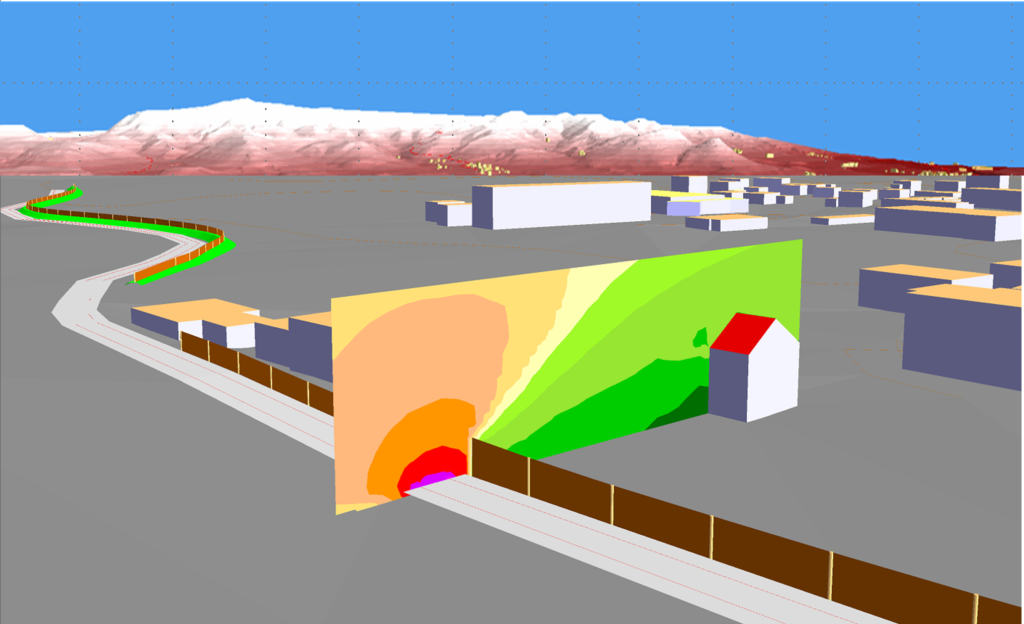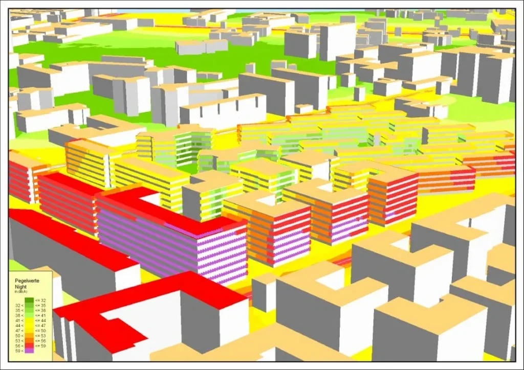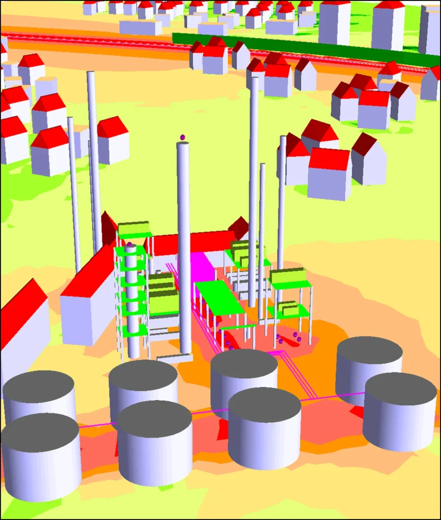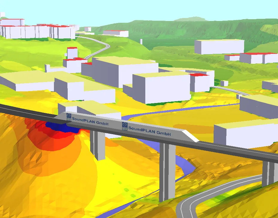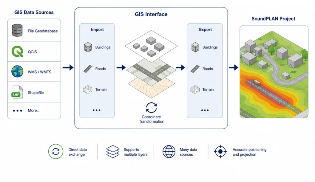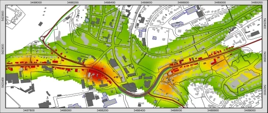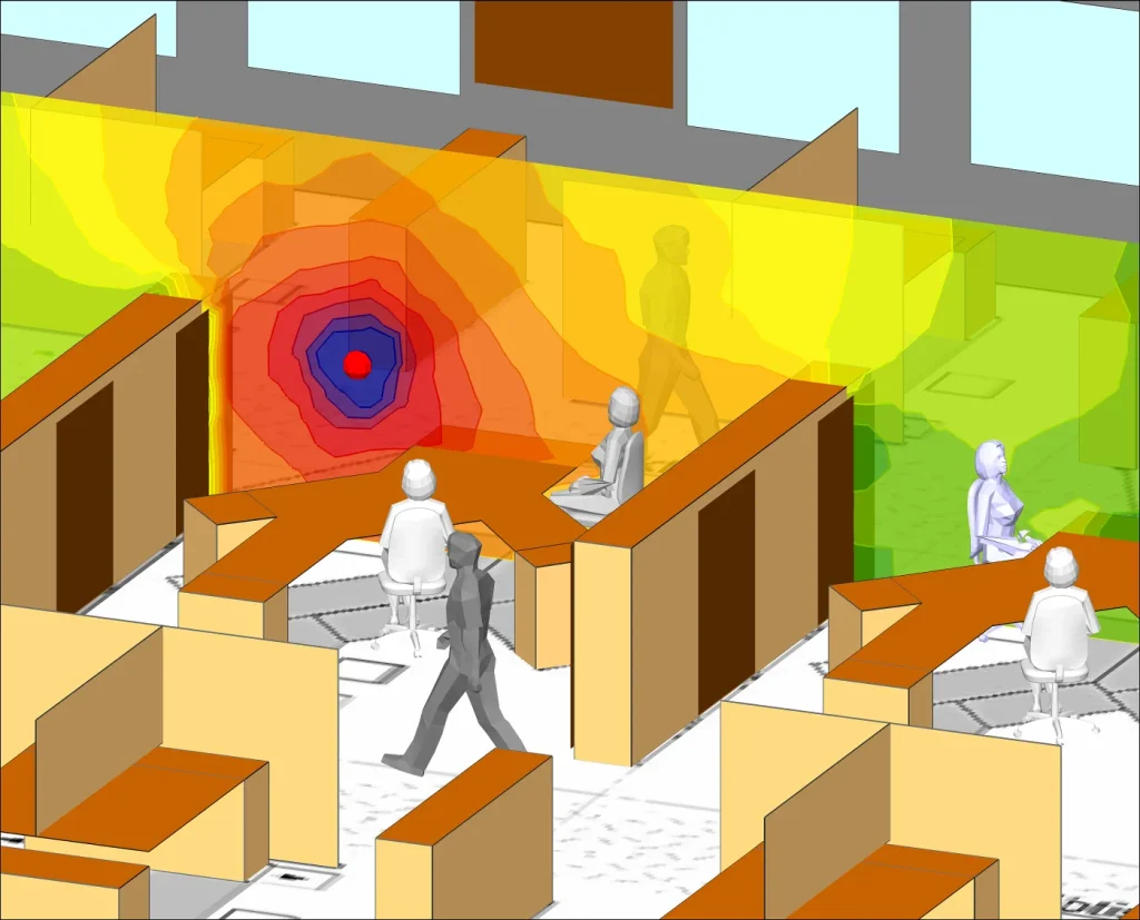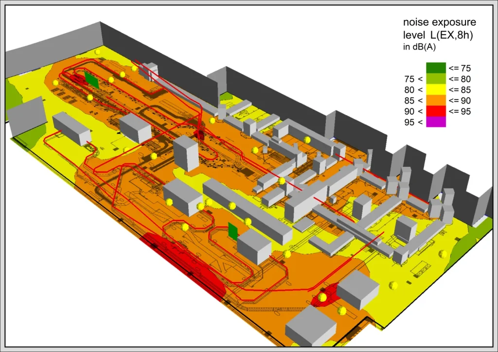
Cartography extends SoundPLANnoise with practical map and geodata tools for modelling, documentation and plan output. It connects project work to map services such as Google Maps, OpenStreetMap and WMS, and supports workflows such as OSM geometry import, KML export and GPS-based photo points from site inspections.
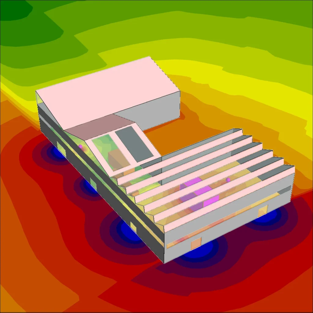
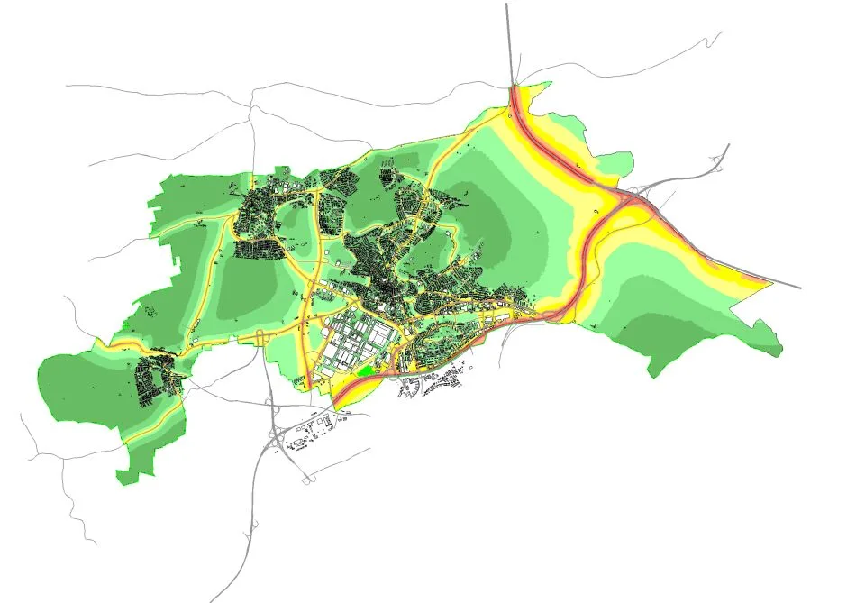
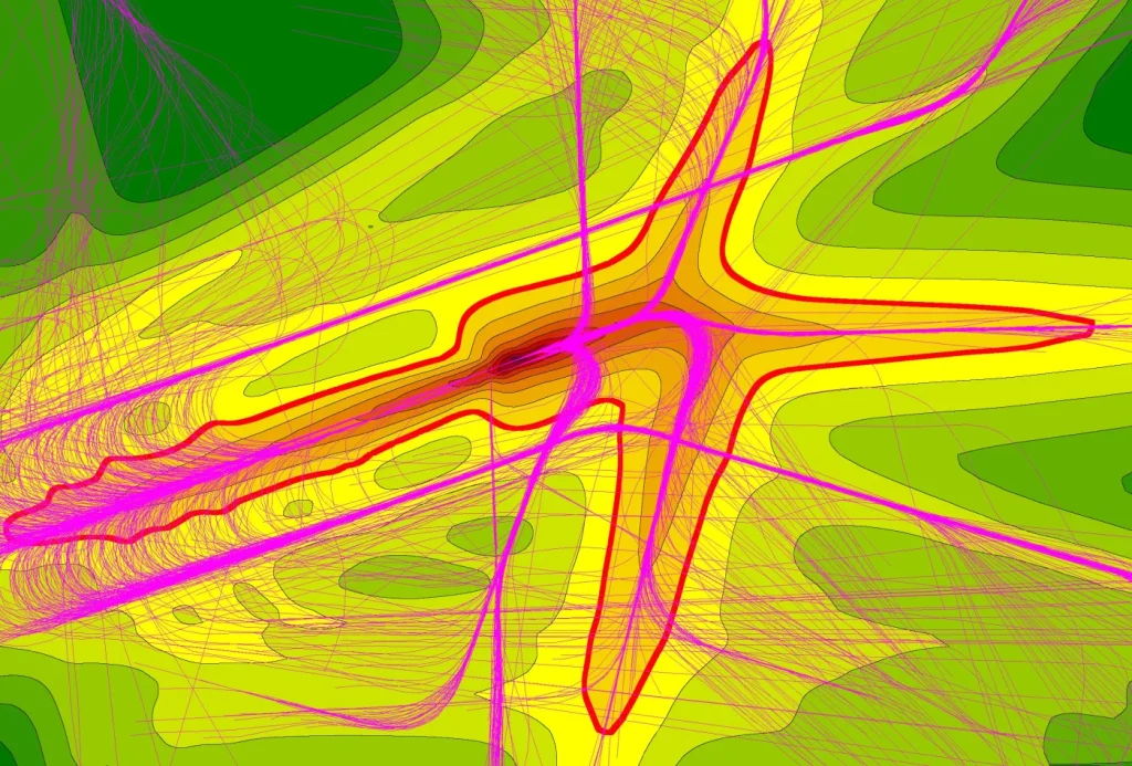
The module is useful when a project needs clear, repeatable graphics rather than only calculation results. It adds cartographic elements, elevation-line and DGM display, DIN 45682-style object and scale colors, and automated graphical output for documentation.