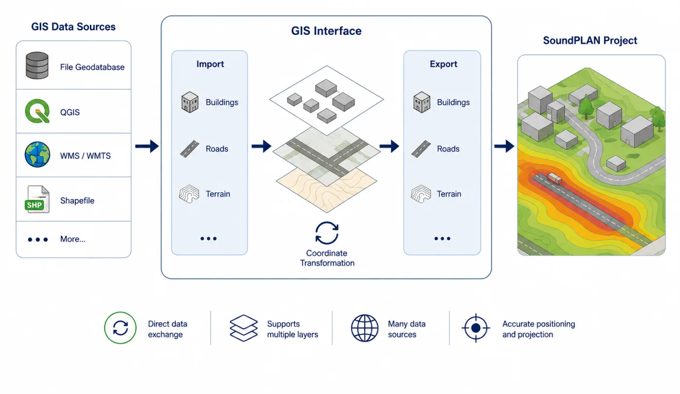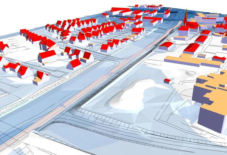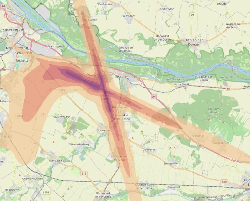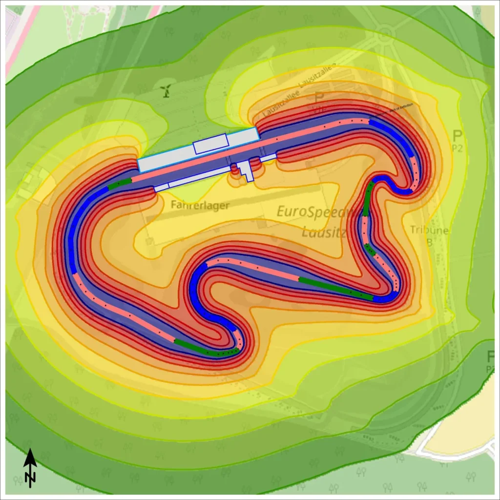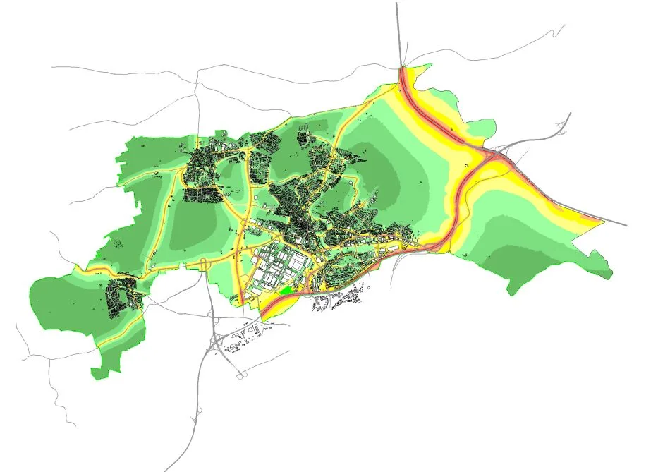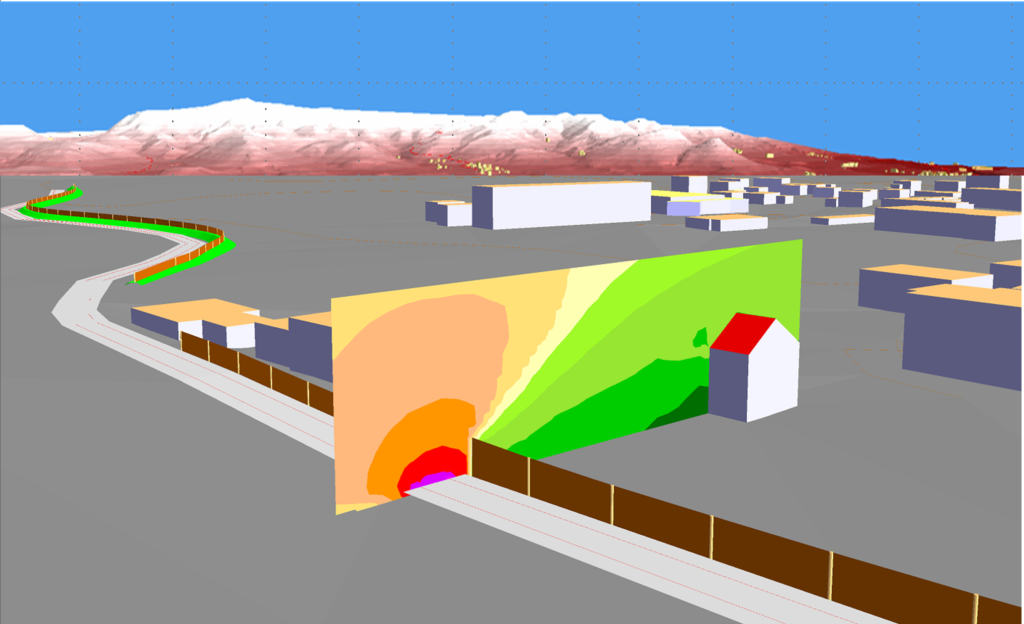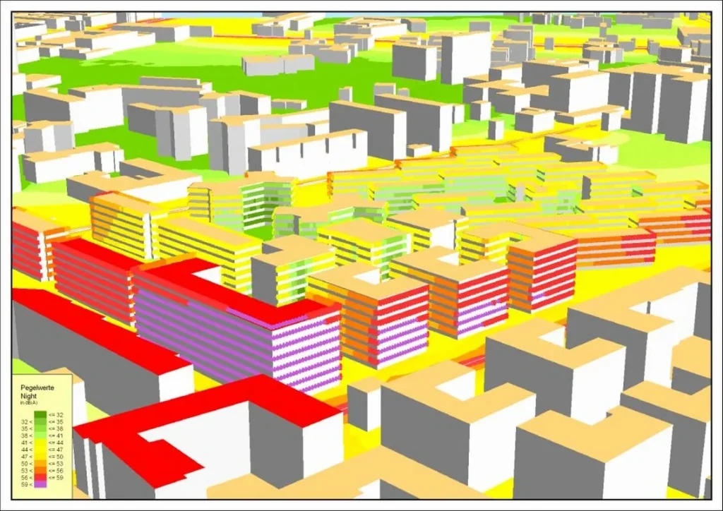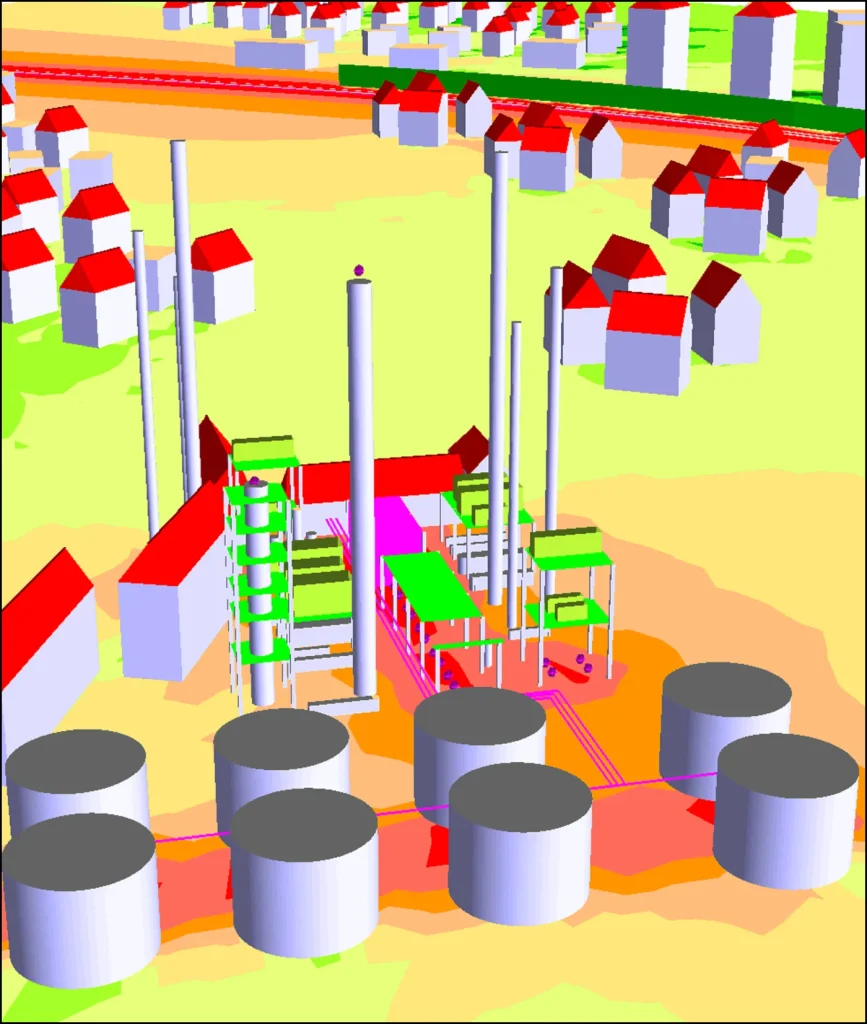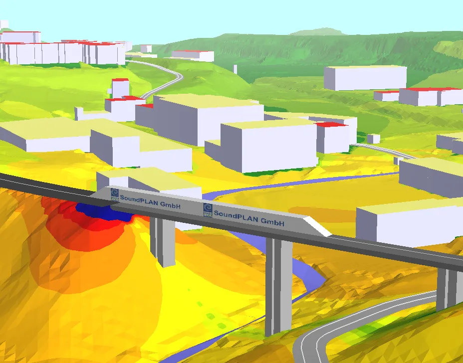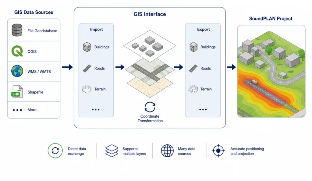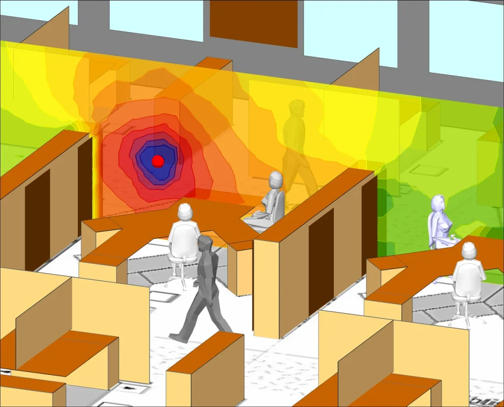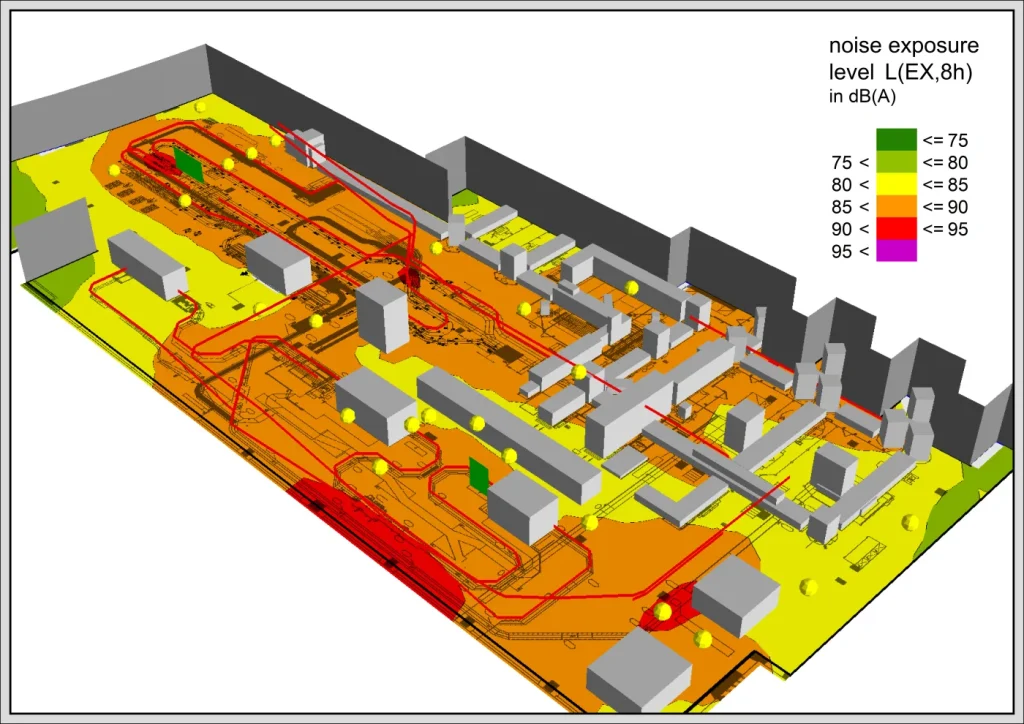
GIS Interface supports GIS-based data exchange around SoundPLANnoise projects. It imports ESRI shapefiles with geometry properties, can open and edit DBF attribute tables, and can export SoundPLAN geometry with selected property data.
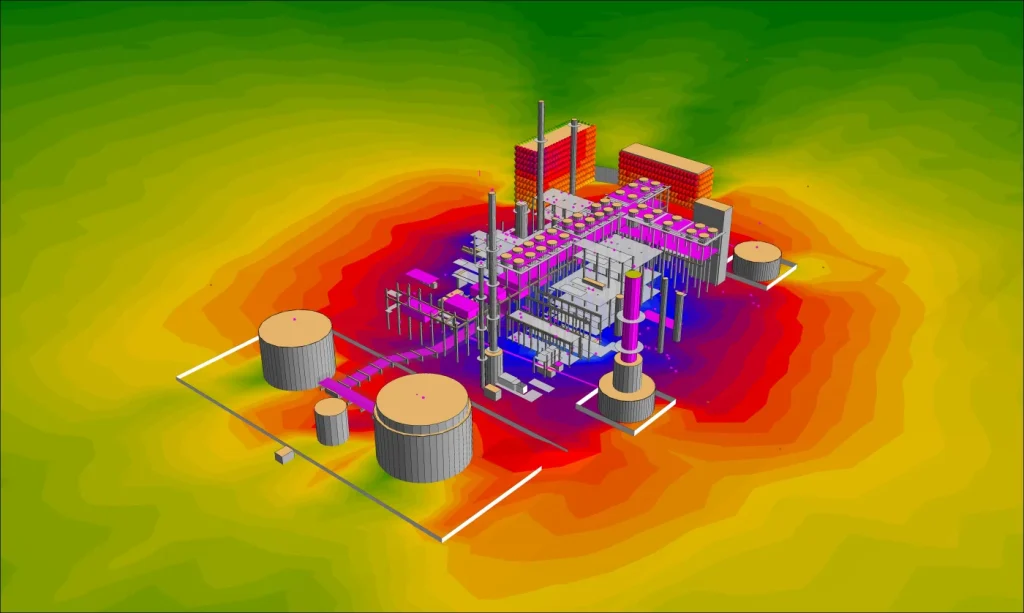
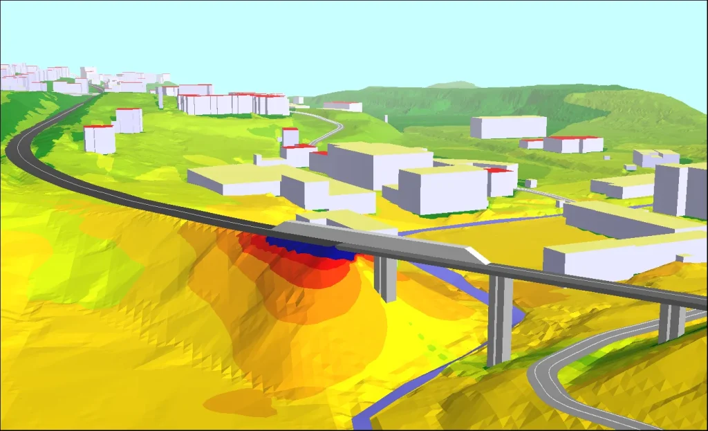
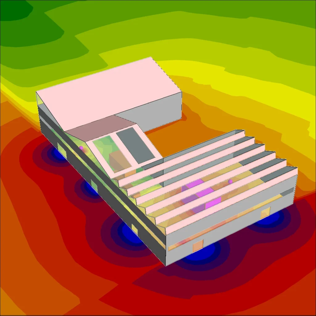
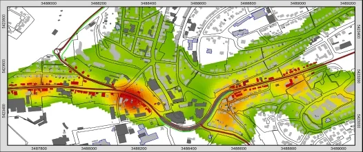
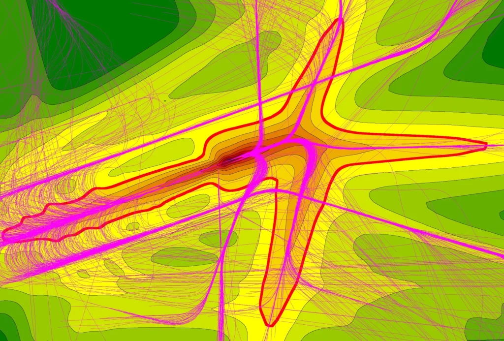
The module also supports export of receiver results, grid values, contour lines and DGM or meshed-noise-map data. For broader data exchange it can import GeoPackage, manual OSM XML files, CityGML with building properties and grid maps from other software products.