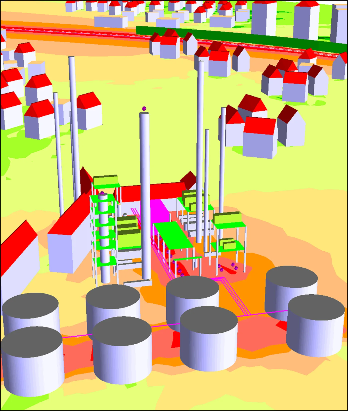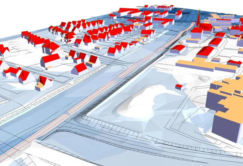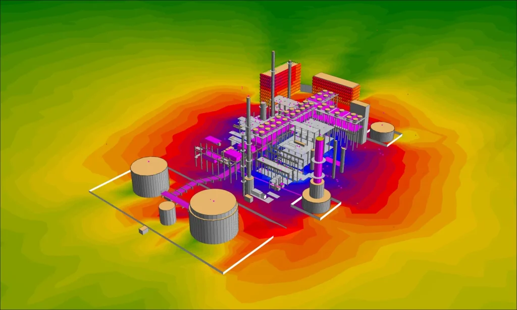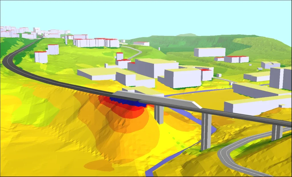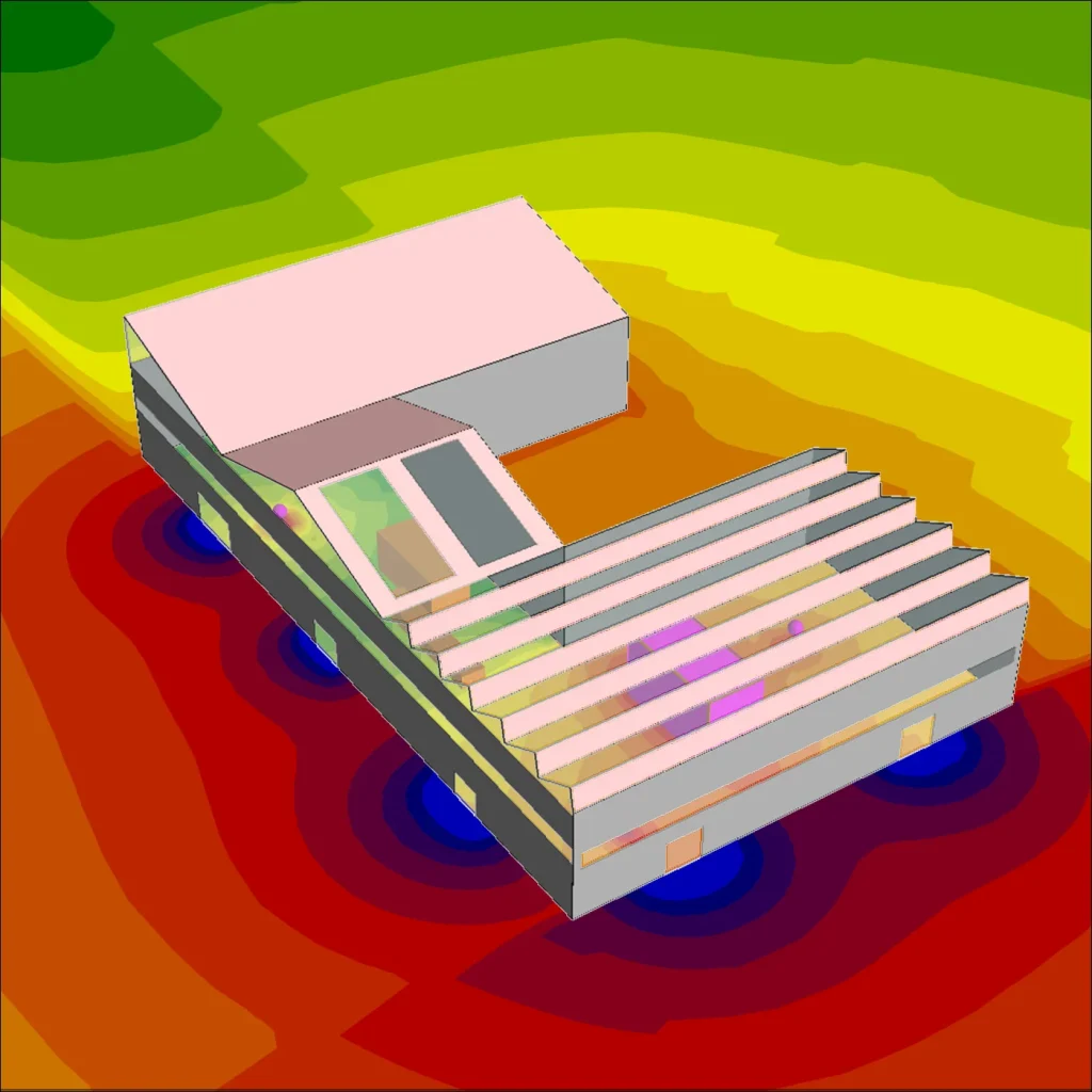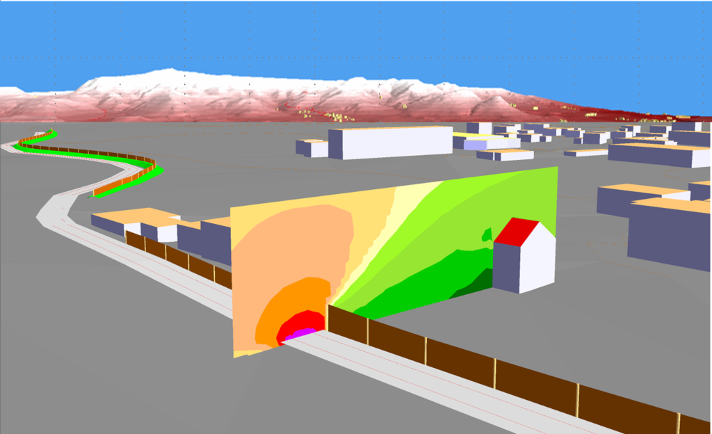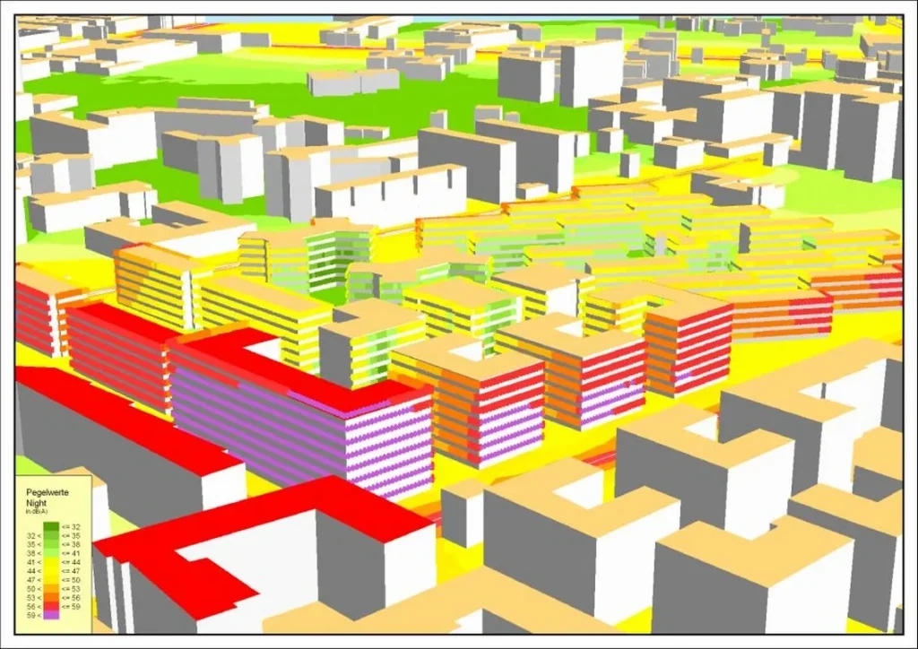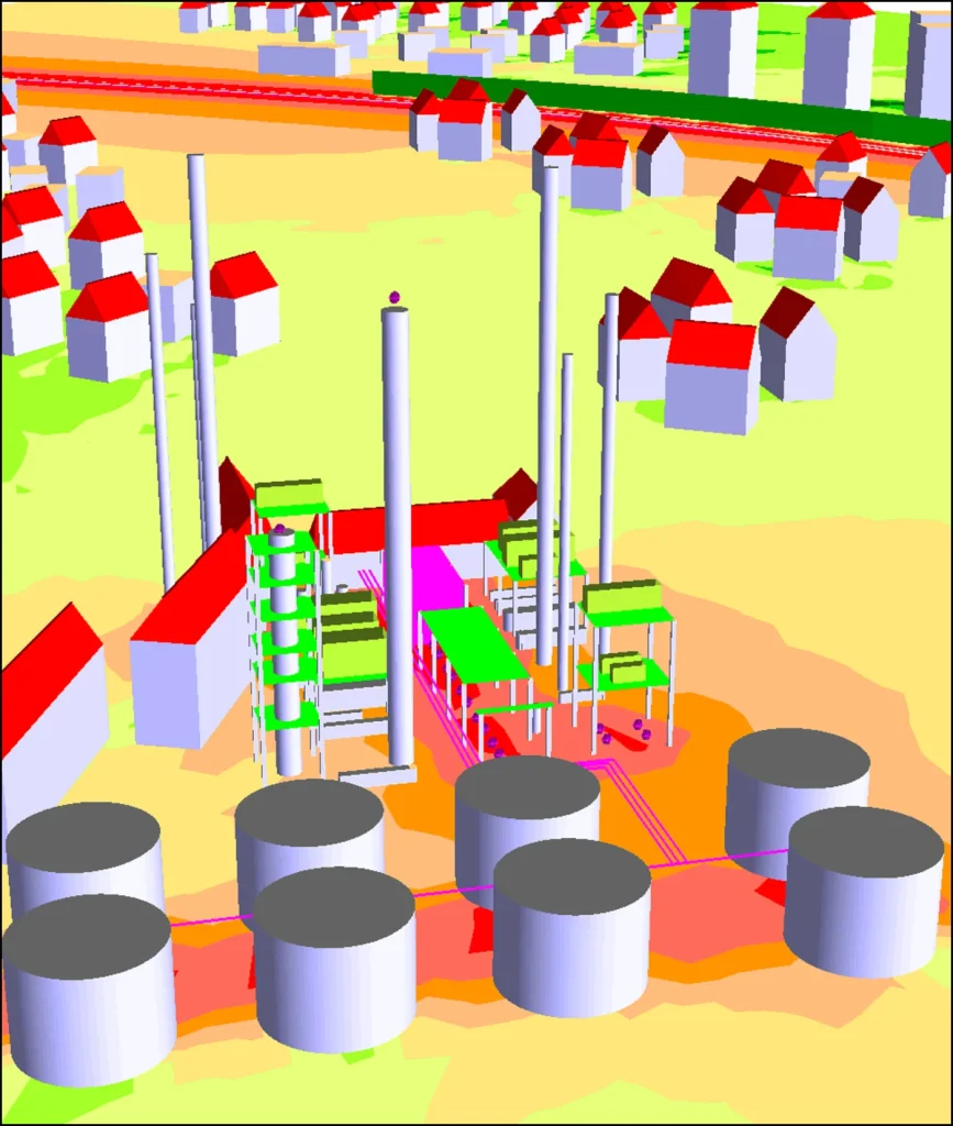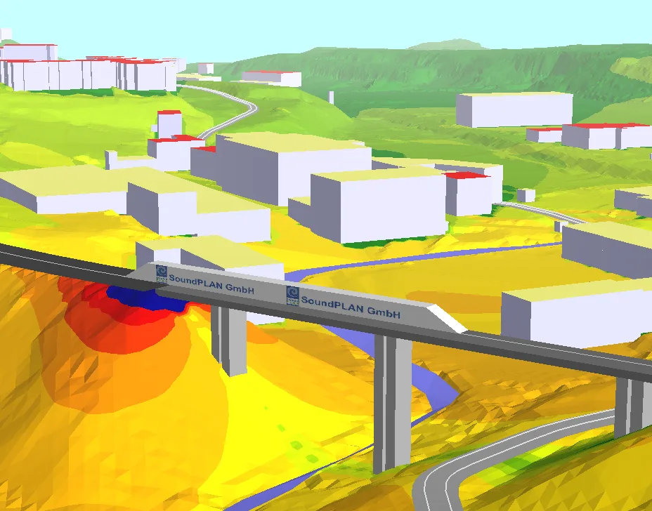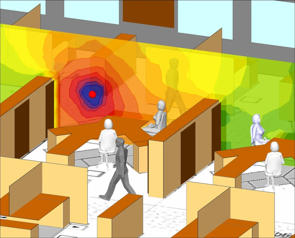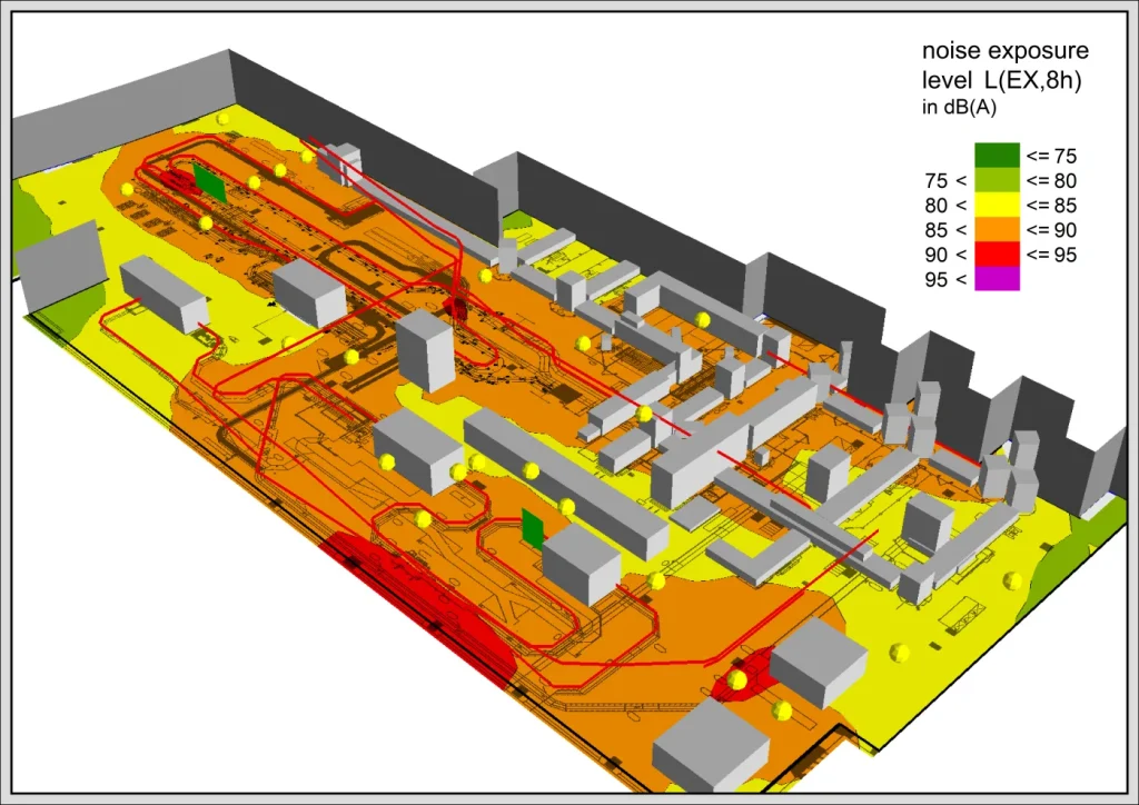
3D Graphics is available already during data entry, so the project team can check whether objects, terrain and geometry are positioned consistently in three dimensions. That makes it easier to catch modelling problems before calculation or documentation.
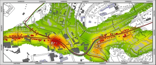
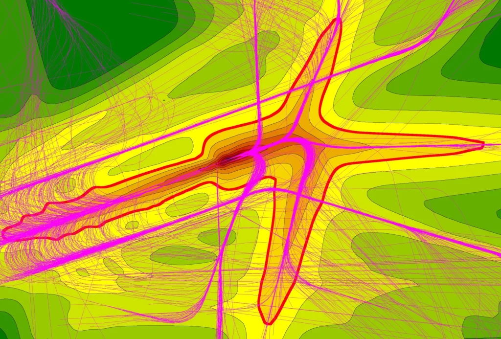
The module visualizes geometry data, geometry bitmaps and calculated Grid Noise Map or Facade Noise Map results in both 2D and 3D. It can also use standard 3D object types such as roof ridges, trees and walls with posts when the relevant prerequisites are available.